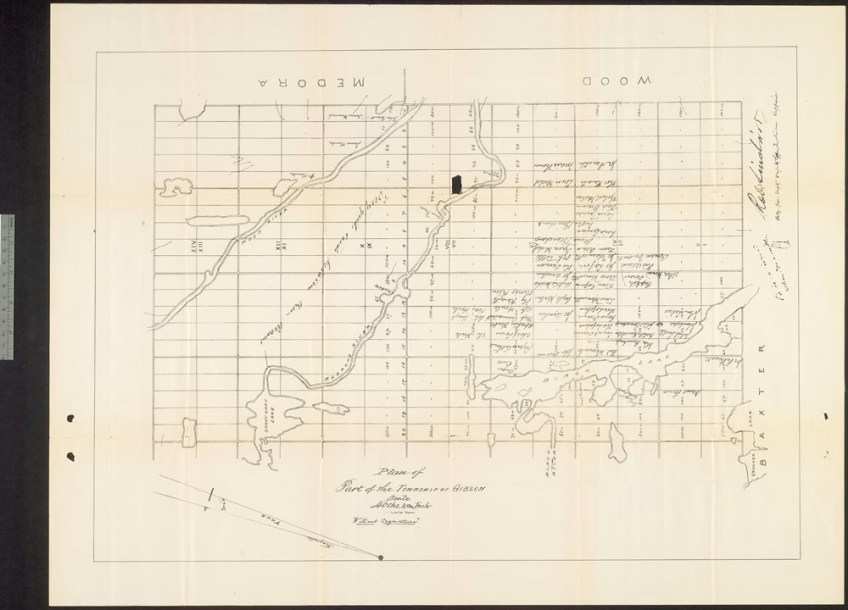
Plan of part of the Township of Gibson, Ontario, now known as Wahta, around 1887 (e008311360)

Plan of part of the Township of Gibson, Ontario, now known as Wahta, around 1887 (e008311360)
