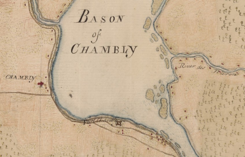
Chambly, Fort Chambly, and Saint-Mathias-sur-Richelieu. Detail of sheet no. 11. (e010944374_11)

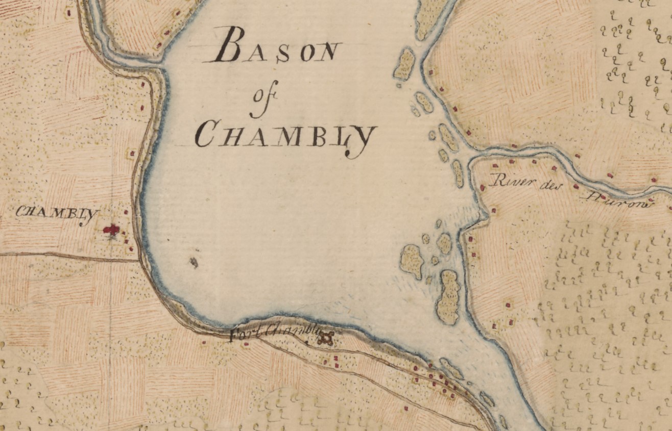
Chambly, Fort Chambly, and Saint-Mathias-sur-Richelieu. Detail of sheet no. 11. (e010944374_11)
